

Series A · Earth Before Us · Ep. 02 · 13:52 · 8 Nov 2026
The Ice Age Flood That Reshaped the Northwest in Days
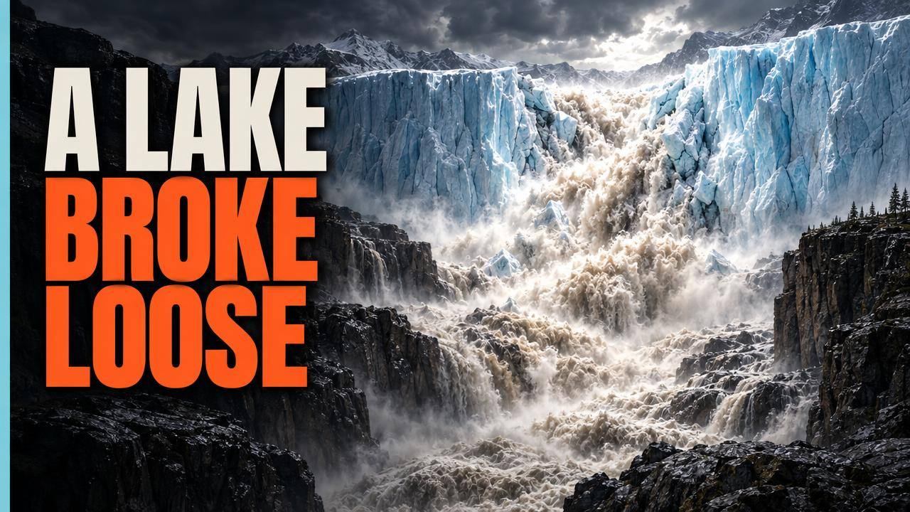
Thumbnail · AI reconstruction
Premieres SUN 8 NOV · 10:00 CDMX
The video link appears here once the premiere is scheduled.
Read
The full article for this episode is being written.
Chapters
- 0:00 A 90-ton rock that does not belong
- 0:49 Glacial Lake Missoula
- 2:02 How the ice dam failed
- 3:18 The Channeled Scablands
- 4:35 Dry Falls, Washington
- 5:26 Wallula Gap
- 6:29 One flood, or many?
- 7:39 Icebergs in Oregon
- 9:37 The geologist who saw it first: J Harlen Bretz
- 11:07 How we know the Missoula Floods happened
- 12:25 What we still don't know
Sources & credits
Sources
- 01
- 02
- 03
- 04
- 05
- 06
- 07
- 08
- 09
- 10
- 11
- 12
Footage and images
National Park Service. U.S. Geological Survey (The Channeled Scablands of Eastern Washington, 1976; J. T. Pardee albums, 1918 and 1924). NASA Earth Observatory (Lauren Dauphin and Joshua Stevens; Landsat data from the USGS, SRTM topography). Lidar images from the Washington Geological Survey (Washington State DNR), CC BY-SA 2.0, modified: https://creativecommons.org/licenses/by-sa/2.0/. Mars: NASA/JPL/USGS and NASA/JPL/Arizona State University. J Harlen Bretz, Journal of Geology, 1923 and 1925 (photo: F. L. Pickett); Joseph T. Pardee, Journal of Geology, 1910. Maps: relief from USGS 3DEP elevation data; lines from Natural Earth.
Some scenes are AI reconstructions or AI illustrations and are labelled on screen. Diagrams are redrawn and simplified. Original music.
Thumbnail: AI reconstruction. Made for Tremor & Tide (Nexlev Thumbnail Lab, GPT Image 2.5 Sunburst).
AI & archive disclosure
This episode mixes real archive (always labeled) with AI reconstructions and simulations (always labeled). No AI image is presented as a photograph of a real event.
Corrections
No corrections so far. Found an error? Tell us